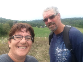
So, today we got started.
A few weeks ago, I bought The Bruce Trail Reference; Maps and Trail Guide (https://brucetrail.org/store/view/128-bruce-trail-reference-guide-28th-edition). This is a fantastic resource as it has all the maps of the trails, but also great information about each section. We wanted to try a piece of the trail that was different than our usual Hockley Valley and Belfountain sites, so we took out our map and gave it a go.
We started at the 61.6 km marker of the Caledon Hills Club (Main Trail Map 18). This is the intersection of Hockley Road and 2nd Line EHS.
We went south along the 2nd Line EHS and were pleasantly surprised to find that walking the country roads was much nicer than we originally thought it would be. We crossed a lovely stream and there were some beautiful properties and homes along the way (uphill!). From the road we turned left and entered a lovely wood. From there, we walked through a farmer's field (on the side of course :)), and had some wonderful views of the Hockley Valley.
 The trail continued through the Hockley Valley Resort. We crossed Golf Cart paths and walked the tops of the ski hills. We even interrupted a wedding shoot (sorry, no photos, but the dress was stunning!).
 |
| Looking down one of the ski hills. |

From here, we followed a service road to the 3rd Line EHS. Across the road, we entered a most stunning bush and a broad track.
For the sake of time, we followed the Griffith Ravine Side Trail which took us through the ravine and up the other side to the 4th Line EHS. At this point, we followed the 4th Line to the Hockley Road which brought us the full loop back to the parking lot.
What a wonderful world that God has made!
 |
| If you look closely you can see the top of the ski hill, view from the Hockley Road. |


No comments:
Post a Comment