Sunday, July 10, 2016

25th Hike - The Beautiful Hills of Mulmer

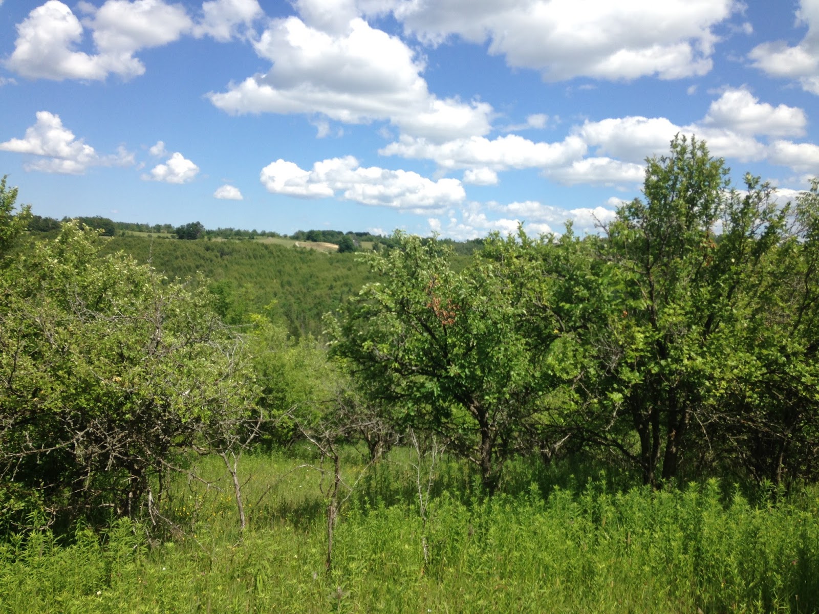
 So technically, we made it to the Township of Mulmer when we went through the Boyne Valley Provincial Park. However, in the park there was mostly forest so we did not get a true view of the Hills of Mulmer (we would have if we went up Murphy's Pinnacle). On this hike, we definitely were able to see and appreciate the beauty of this area. From looking at the map, I would say we are in for a treat on some of the hikes coming up.
We parked at the north end of our days hike, at the end of the 2nd Line E. The road ends in a little cove of trees where you can park your car. From here you can take the Oliver Creek Side Trail which follows .... you guessed it, Oliver Creek.

 We met up with the Bruce Trail and started south.


After a bit of hiking, we met up with the 2nd Line E. and followed the road for a piece.


 Once past the 8 Sideroad, we continued on the 2nd Line E., where it became nothing more than a track which then became a trail. This led to a great conversation about living off the grid and whether we ever could really do that (the answer was no :) ).
After the houses, we found this gem at the side of the trail. It makes one wonder how it got there, how old it might be and how long it will last. (Matthew 6:19 "Do not lay up for yourselves treasures on earth, where moth and rust destroy and where thieves break in and steal.")


The trail then led us to Bruce Trail Conservancy managed lands. We caught some glimpses of the view to the east, across the Boyne Valley.


This piece included a large piece on the edge of fields. It was a bit easier hiking, but the poor dogs were getting so hot that every chance they had, they tried to find shade. I think they were the happiest when we went down a large gully and found a beautiful little stream that fed into the Boyne River. As we were descending the gully, we heard a large splash and when we got to the bottom we found large, wet deer prints. We didn't see it, but we certainly knew it was there ahead of us, and not too long before us, because the prints would have dried out in that heat fairly quickly. 


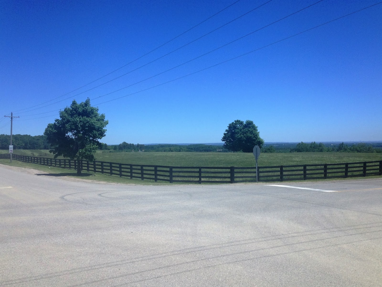
After climbing back up the gully, we found this fence, and the 1st Line E. After we crossed the road, we were back in the Boyne Valley Provincial Park. The last little piece before getting to the place where we ended up last time was quite a challenging piece. By the time we finally hit the Boyne Valley Side Trail, we were pretty tired. So we decided to take the side trail to the road and walk that little piece back on the road to meet up again at the edge of the park.


This was a good decision, as we were able to once again walk the valley and to enjoy its quiet, emerald beauty. 
Once back on the trail, we followed it back, seeing the beauty of the escarpment in reverse.


Which was fantastic as we were able to look a bit better at the one place close to the 2nd Line E and 8 Sideroad. It seems they dammed the creek and had a wonderful pond, complete with seating.


Finally, we followed the road back to the car. The statistics for the hike are: 12.1 kms., 3 hours and 19 minutes, 350 meters average ascending and descending (446m asl highest, 354m asl lowest) and an average of 4 km/h.


Saturday, July 9, 2016

24th Hike - Great Fun!

Hehehehehe. This was so much fun! There was a bit of road "hiking" to do between Highway #10 and Heart Lake Road on the Escarpment Sideroad. Also, because of the woods, there wasn't the same view down the escarpment like there was on the last piece on this side road. However....I brought a little "hiker-in-training" with me this time :). My grandson Judah makes the best companion!
It was very hot, but he was so very good, even helping with the dogs!

We parked on Escarpment Sideroad, close to Highway #10. It wasn't marked for parking on our map, but there was no "No Parking" signs, so I figured it was ok. But then I spent the last bit of the hike getting worried that it would be towed away, so I won't do that too quickly again :).
The road was straight, with a few hills, so the hiking was very easy. It was a bit challenging trying to manage a stroller and two dogs, but after a bit of scolding, the dogs stopped pulling us off to the side. 
 Looking down Kennedy Road towards Brampton.

 At the corner of Heart Lake Road and Escarpment Sideroad. In the picture above we are looking towards Toronto. Without being in the woods, and with no streams, the dogs got extremely thirsty. Normally I would take a bowl along, but I completely forgot it. Scruffy will drink from my hands, but Meeko takes a bit of persuading. Eventually, she got so hot she finally started to drink from my bottle. We also had to take a bit of a rest in the shade for the sake of the dogs.

Another beautiful property along this road. There is a piece of land for sale closer to Highway #10. Maybe we should look into this? ;)
Just after Kennedy Road, there is a piece that goes through the woods, but I could not do this with the stroller, so I will have to come back at some other time to do this piece. 

 Along the piece closer to Highway #10 is the Devil's Pulpit golf course. This course opened in 1990, and even has a hole called "Bruce Trail" (the 17th hole). This golf course has been called "the best earth sculpture the game has yet seen." (Golf Digest)
Here is where the trail comes out of the woods again. I believe it is only a small piece, so I will probably combine it with another hike sometime. 
 Because of the parking situation, it was quite nice to see the car again. Silly, I know, but what can I say?

I put the dogs in the car, but left the back hatch wide open. It was so hot, I did not want to make them walk this little piece. Actually, it would be almost impossible. Meeko is so terrified that we will leave her behind that she would have just kept trying to get back to the car, and I never would have been able to manage the stroller and her!
So, Judah and I took a quick jaunt to the tunnel just so we can say we actually were there.
I have not been liking the road pieces much (especially since Airport Road), but now that I know I can take my wee buddy with me, they seem a lot more enticing than before!!!

Sunday, June 5, 2016

23rd Hike - Mystery!

We only had time for a short hike today, so we decided to do the piece on Escarpment Sideroad between Highway 10 and Willoughby Road. We started at the corner where Willoughby Road and Escarpment Sideroad meet. Again (as with a couple of hikes ago) we weren't sure the weather would cooperate. However, after a little bit of light rain, everything cleared away and the sun peeked out.
A view of Brampton from the top of the escarpment.


The trail here started in the bush, and was really quite interesting. It seemed like we went through several different ecosystems on our way. From meadow to woods to bush, up hills and down gullies, it was quite fascinating to see this all in one short hike.


And, the flowers were blooming!


Okay, the last two aren't exactly flowers, but they were still very pretty!
We kept catching glimpses of the beautiful view from the escarpment.


We emerged from the woods back onto Escarpment Sideroad, towards Highway 10.


We were reminded once again, that the Lord owns the cattle on a thousand hills (Ps. 50:10).


And then.....mystery! Who really owns the mansion on Escarpment Sideroad???? Is it Elton John??? Apparently it isn't, but the gates were pretty mysterious as to who lives on the other side!

And then, there was our own burning bush. Clarence swore he saw this tree burning, puffing smoke, but I couldn't see anything! However, once we went past it, I could sure smell it! It turns out that the tree was touching the hydro wires and it actually was burning a bit!

Then we came to the tunnel under Highway 10. We drive this highway all the time, and until lately, we had no idea that there was a tunnel under the highway. And it came with it's own flock of birds who had made nests in it.


Looking at the East end of the tunnel.

Looking at the West end of the tunnel, with birds!
We then followed the Escarpment Sideroad back to our car.